- Well API Number
- Well Name
- Well Name Suffix
- Well Operator Code
- Well Field Name
- Well Spud Date
- Well Bottom Hole Lease Number
- Rig Kelly Bushing Elevation (feet)
- Well Bottom Hole Measured Depth (feet)
- Well Bottom Hole True Vertical Depth (feet)
- Well Surface North-South Distance
- Well Surface North-South Code
- Well Surface East-West Distance
- Well Surface East-West Code
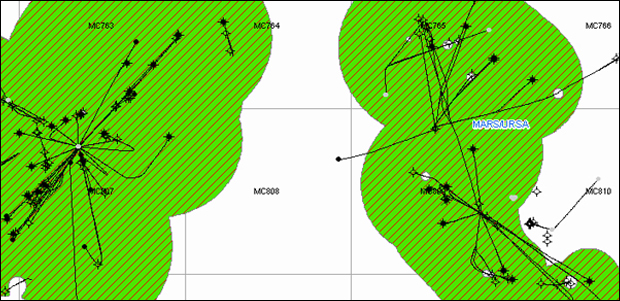
- Well Surface Area Code
- Well Surface Block Number
- Well Bottom North-South Distance
- Well Bottom North-South Code
- Well Bottom East-West Distance
- Well Bottom East-West Code
- Well Bottom Area Code
- Well Bottom Block Number
- Well Total Depth Date
- Well Status Date
- Well Type Code
- Well District Code
- Well Status Code
- Water Depth (feet)
- Well Surface Longitude
- Well Surface Latitude
- Well Bottom Longitude
- Well Bottom Latitude
- Operator
- Well Surface Area + Block Number*
- Well Bottom Area + Block Number*
- Surface Area + Block + Well Name*
- Bottom Area + Block + Well Name*
- Mapping Longitude*
- Mapping Latitude*
- Number of Completion Intervals*
- Number of Completions*
- Number of Tests*
- Number of Paleo Picks*
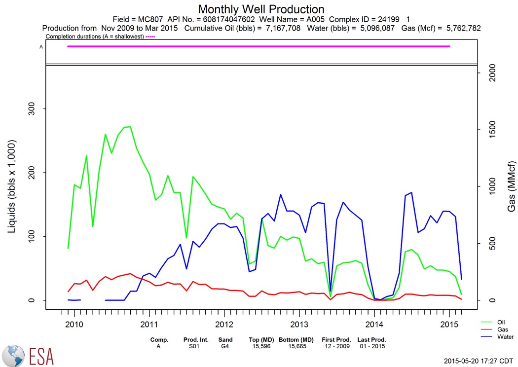
- First Production Date *
- Last Production Date*
- Spud Date
- Well Total Depth Date
- Well Status Date
- Well Cumulative Oil Prod (bbls)*
- Well Cumulative Gas Prod (Mcf)* Prod (BOE)*
- Well Last Calendar Year Water Prod (bbls)*
- Well Last Calendar Year BOE Prod (BOE)*
- Well Cumulative Gas-Oil Ratio (Mcf/stb)*
- Well Classification*
- Velocity Survey Flag*
- Number of Well Logs from BOEM*
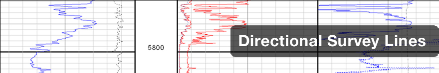
- Directional Surveys: real or pseudo*
Charts
Single-Feature Charts:
There are 12 production charts available for the directional surveys based on the well data. Oil, Gas, Water and BOE data are available annually or monthly. Charts can be linear or logarithmic.